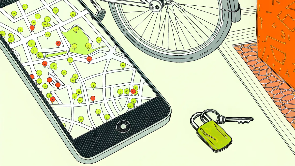
Rackfox (rackfox.app) is a free map of public bike parking in 13 English cities that rates every spot for theft risk: we count bike thefts recorded by the police within 150 metres (about two minutes' walk) over the last 12 months, using data.police.uk. Four more cities, New York, San Francisco, Toronto and Ottawa, are rated the same way from their police forces' open data.
The rating is relative: high risk means more thefts nearby than at 75% of the city's bike parking, and low means the spot is in the quieter half.
The data updates automatically every month from the latest police figures (current data: Data to September 2026 ).
Where does Rackfox's bike theft data come from? #
Every bike theft count on our map comes from police.uk bike theft data, published on data.police.uk, the official open police data site for England, Wales and Northern Ireland. The police's own crime map on police.uk shows the same records; we add the bike parking and a risk rating for each spot.
Police forces in England, Wales and Northern Ireland publish their data there every month, but not straight away: thefts from August, for example, appear only in October.
We use this data for English cities: we check the site every day and load new figures automatically within a day of their publication.
Each theft comes with little detail: the month it was recorded, roughly where it happened and, if the police gave one, the outcome, such as "Investigation complete; no suspect identified". You can use the data freely as long as you credit the source: it is published under the Open Government Licence v3.0.
We take bike parking and bike repair shops from OpenStreetMap, an open map that volunteers around the world keep adding to, and we refresh them every week.
For the four cities outside the UK (New York, San Francisco, Toronto and Ottawa), thefts come from each city's open police data, and each city's page names its source.
How accurate is police.uk crime data on location? #
The location of a theft in police.uk crime data is approximate. To keep locations anonymous, the police show each crime not where it happened but at the nearest of a set of fixed points (snap points). One theft on the map is one crime recorded by the police.
Snap points are placed so that nobody can work out a particular building from them. Each one sits in the middle of a street, in a park or by a shopping centre, with at least eight addresses (homes, shops, offices) around it, or none at all, as in a park.
Put simply, a theft on Waterloo Road means the bike was stolen on Waterloo Road itself or somewhere in the streets nearby.
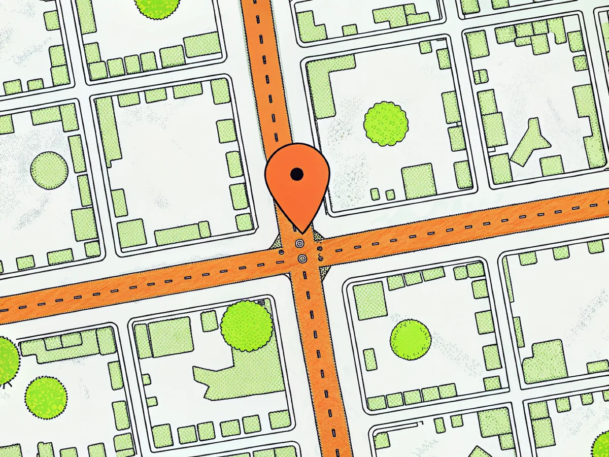
That is why we count thefts within a radius rather than pinning them to a particular stand, and it is also why we can't answer the question "are bikes stolen right here?"
We rate the risk around a spot; where and how you lock your bike is always your call.
data.police.uk explains in detail how the police handle this data and why locations on the map are approximate.
How does a cycle parking spot get a low, medium or high rating? #
The risk rating of a bike parking spot depends on how many bike thefts the police recorded within 150 m of it over the last 12 months, compared with every other bike parking spot in the same city:
- High: the spot is in the quarter of the city's bike parking with the most thefts nearby (and at least one theft has been recorded nearby).
- Medium: the spot is in the next quarter: fewer thefts, but more than near half of the city's bike parking.
- Low: the spot is in the city's quieter half, or no thefts have been recorded nearby.
We compare within each city because cities differ: high risk starts at 3 thefts nearby in Birmingham, 6 in London and 10 in Bristol.
A single threshold for the whole of England would make one city almost entirely high risk and another almost entirely low.
Where high theft risk starts
Bike thefts recorded within 150 m of a bike parking spot that put it in the city’s top quarter, 12 months to September 2026.
Source: data.police.uk (Open Government Licence v3.0) and © OpenStreetMap contributors; analysis by Rackfox.
On our bike theft map of London, low currently means no more than 2 thefts within 150 m in a year, medium means 3 to 5, and high means 6 or more. The spot's card on the map shows its exact count.
So the rating works best like this: if there are several bike parking spots near where you're going, pick the one with the lower risk.
How is bike theft risk rated by area, postcode or street? #
To show bike theft risk by area, we count thefts over the last 12 months within 500 metres (about eight minutes' walk) of the postcode or street you search for, or of your location, and compare that number with thefts within 500 m of bike parking spots in the same city (we take up to 2,500 of them). The result reads like this: "more thefts than near 64% of London's bike parking".
The radius is larger than for a single spot (150 m) because it describes the area around a point, not one stand.
We compare with places where people actually park, not with the whole city. Most of a city is parks and quiet streets, so next to them almost anywhere would look high risk.
Each area page (for example, London's boroughs) shows more:
- how the number of thefts has changed month by month and against last year;
- which streets and places see the most thefts;
- how many cases the police closed without finding the thief.
How does Rackfox rate bike theft risk near railway stations? #
For each railway station, we count two things: public bike parking within a 5-minute walk, and bike thefts recorded by the police on streets within 500 m. Five minutes is about 320 m in a straight line: people walk about 80 m a minute, but streets don't run as the crow flies. There are 19 station pages so far: 8 major London stations and the main stations of 11 other English cities.
Thefts inside stations and on platforms are recorded by British Transport Police, the police force for the railways and the Underground, which has passed almost no data to data.police.uk since March 2025. So these thefts are missing from our figures, and more bikes are stolen around stations than the numbers show.
Each station page also describes the station's own bike parking: how many spaces it has, and whether there is a shelter, CCTV or a locked cycle store. We take this from railway websites (National Rail, Network Rail and the train operators) and link to each source. There is no risk rating for parking inside a station: it isn't a spot on our map, and, as explained above, thefts inside stations barely reach the open data.
How do spot, area and station ratings differ? #
We work out risk in three ways, depending on what you are looking for:
| Bike parking spot | Postcode, street or your location | Railway station | |
|---|---|---|---|
| What we count | thefts over 12 months within 150 metres (about two minutes' walk) | thefts over 12 months within 500 metres (about eight minutes' walk) | bike parking within a 5-minute walk (about 320 m) and thefts within 500 m |
| What we compare with | every bike parking spot in the same city | the same 500 m around up to 2,500 of the city's bike parking spots | each nearby spot is rated as usual |
| What you see | low, medium or high risk | "more thefts than near N% of the city's bike parking" | thefts nearby and each nearby bike parking spot with its rating |
Checked on 1 November 2026.
What can't the bike theft data tell you? #
These figures cover only the thefts the police know about. They can't tell you how many bikes were really stolen, or whether yours will be (only the thief knows that).
A few more things to know about this data:
- Not every theft is reported. Many owners don't go to the police, so more bikes are stolen than our figures show.
- The location is approximate. The police mark a theft near where it happened rather than on the exact spot. How precise that is depends on which force handled the case.
- Some data is missing. British Transport Police, which investigates thefts at stations and on the Underground, has published almost none of its data since March 2025, so thefts at the stations themselves are almost absent from our map. Greater Manchester Police hasn't published data since July 2019, which is why Manchester isn't on our map yet. Sometimes a force misses a month, and it is sometimes added later.
- Only the month, no detail. The data shows only the month a bike was stolen. There is no day or time, and nothing about what kind of bike it was or how it was locked.
- Case outcomes change. On area pages we show how cases ended, using the latest police record. A case that is "Under investigation" now may be closed later, and the figures may change.
How often is Rackfox data updated? #
Police bike theft data on data.police.uk is updated once a month. We check the police site every day, and as soon as a new month appears we recalculate the ratings, theft counts and charts automatically. Bike parking from OpenStreetMap is updated every week.
Cities abroad have their own update schedule: you'll find it on each city's page and on Data & licences.
Can I use and cite this data? #
Yes. Here is what you can use, and on what terms:
- Bike parking with risk ratings. You can download the table of all bike parking spots with our rating and use it under the Open Database Licence, the same licence as OpenStreetMap, which the table is built from.
- Statistics for London boroughs and English cities. You can use them freely as long as you credit Rackfox as the source.
- Maps, charts and illustrations. You can use them, even in commercial publications, under the CC BY 4.0 licence: credit "Rackfox" and link to the page you took them from.
The download files and full terms are on the Data & licences page.
Cite it like this: "Rackfox (rackfox.app), from data.police.uk (Open Government Licence v3.0) and OpenStreetMap (© OpenStreetMap contributors, ODbL)", and give the month of the data you used.
Who makes Rackfox and how do I report an error? #
Rackfox is an independent project. We combine open police data on thefts with OpenStreetMap's map of bike parking. We built it to help you choose a safer place to leave your bike.
We earn money from partner offers: we get a commission if you buy through them, and every one is labelled "Ad". Our How we make money page explains more. We calculate the risk rating from police data only, and advertisers have no influence on it.
Found a mistake? If it's about bike parking (a spot is missing from the map or its details are wrong), correct it in OpenStreetMap, and the change will reach our map within a week. For anything else, write to the address on our About page.